
Cadmapper
Instant global CAD files from real-world data
Description
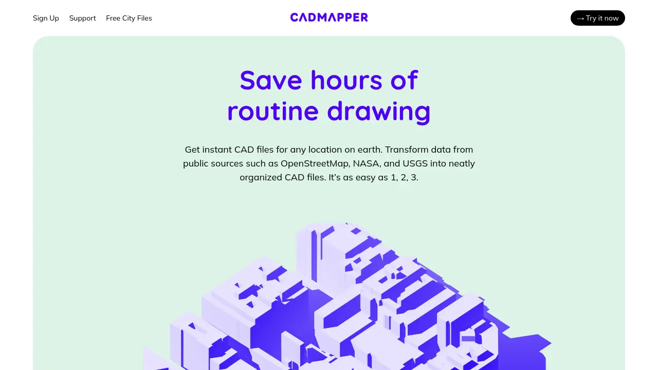
Cadmapper is an online tool that converts data from OpenStreetMap, NASA, and USGS into neatly structured CAD files for use in popular design software. Users can define any location on earth, instantly obtain layered CAD drawings, and utilize city-wide or detailed topographic data to streamline their design processes.
This service enables designers, architects, and illustrators to easily download professional-level mapping data without a subscription, supporting a wide range of locations with options for both free and paid downloads.
Key Features
- Instant CAD File Generation: Creates editable CAD files for any location worldwide
- Global Data Sources: Integrates public data from OpenStreetMap, NASA, and USGS
- Layered Drawings: Outputs neatly organized, layered CAD files
- Large City Files: Offers free, simplified road network files for over 200 metro areas
- Format Compatibility: Supports AutoCAD, SketchUp 8+, Rhinoceros 5+, and Adobe Illustrator
- Topography and Building Heights: Includes terrain and building height data in many cities
- No Subscription Required: Create files without needing a recurring payment
- Academic Discounts: Offers reduced rates for users with academic email addresses
Use Cases
- Urban planning and city design
- Architectural site studies
- Landscape architecture projects
- Visualizing city layouts in 3D
- Importing city road networks into CAD
- Illustrative mapping for presentations and graphics
You Might Also Like

Moonlighting Apps
FreemiumTurn your photos and videos into awesome art.

Digitap
Contact for PricingAI-Powered SaaS Solutions for Seamless Financial Onboarding & Risk Management

DeepRFP
Free TrialAI Proposal Writing & RFP Automation

Svatah
FreemiumBehavior Driven Automation

Zweelie
Free TrialAI brand manager to grow your presence