
Cybertiks
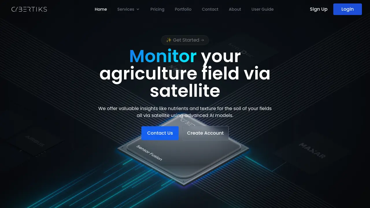
Monitor agriculture fields and gain soil insights via satellite AI
Description
Cybertiks provides remote sensing solutions primarily for the agriculture sector, utilizing satellite imagery and artificial intelligence. The platform allows users to analyze fields anywhere in the world, gaining insights into soil conditions such as nutrient levels and texture. It achieves this by processing data captured by various electromagnetic sensors, including those on satellites, drones, and weather balloons, through its proprietary QSIS system. This system employs AI to identify, classify, and quantify materials based on thermodynamic information and spectral signatures.
The service integrates multiple data sources, including optical and radar, offering a comprehensive view of field conditions. Cybertiks emphasizes delivering tailored solutions for individual client needs and provides historical data analysis alongside regular monitoring updates every seven days. Users can visualize the analysis results directly on a map interface, enhancing understanding and decision-making for agricultural management.
Key Features
- Remote Field Analysis: Analyze any field globally via satellite.
- AI-Powered Soil Insights: Provides metrics like soil nutrients and texture (>80% accuracy).
- Historical Data Access: Access and view past metrics for monitored fields.
- Regular Monitoring Updates: Delivers new analysis results every 7 days.
- Map-Based Visualization: View analysis results overlaid on maps (up to 100m2 resolution).
- Sensor Fusion Integration: Combines data from multiple sources (optical, radar, etc.).
- QSIS Technology: Identifies, classifies, and quantifies materials using AI and sensor data.
- Tailored Solutions: Offers customized analysis based on client and field specifics.
Use Cases
- Monitoring soil health characteristics (nutrients, texture)
- Tracking agricultural field changes over time
- Analyzing historical field performance data
- Supporting precision agriculture planning
- Conducting remote assessments of agricultural land
- Detecting and quantifying specific elements or minerals in soil
You Might Also Like

Leash Bio
Contact for PricingUnleashing machine learning to solve medicinal chemistry

SelfTact
FreeThe Personal CRM for Every Networking Professional

ChatPersonas.ai
FreemiumAI Chat Assistant for Content Creators to Engage Subscribers

Fame Clips
Free TrialTransform Podcasts into Engaging Social Media Shorts

echowin
FreemiumAI Voice Agent Builder to Automate Your Customer Support