
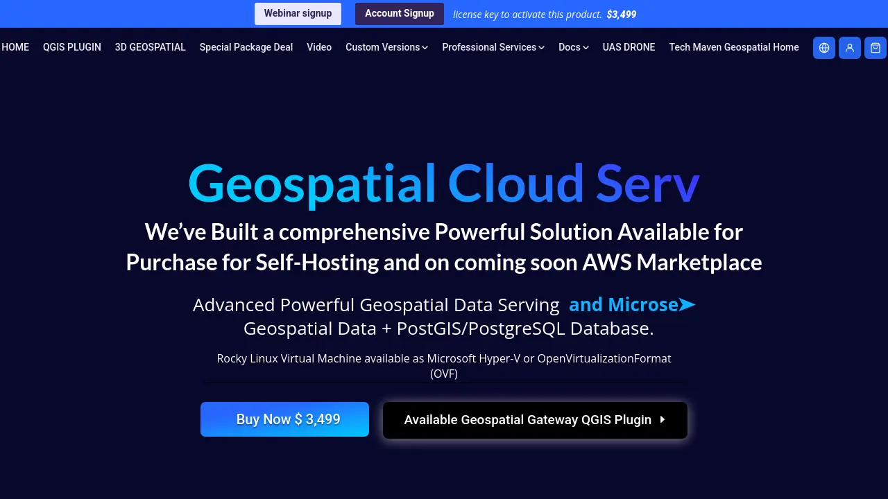
Geospatial Cloud Serv
Next-Generation Cloud Platform for Enterprise Geospatial Data Serving
Description
Geospatial Cloud Serv is a comprehensive platform for managing, serving, and analyzing geospatial data at scale. Built on enterprise-grade infrastructure, it enables seamless integration with established GIS tools by providing robust REST APIs, native support for ESRI protocols, and compatibility with industry-standard formats.
The solution supports advanced vector, raster, and 3D data streaming, real-time editing, digital twin infrastructure, PostGIS and PostgreSQL databases, and secure role-based access control. Available as a self-hosted deployment or through cloud providers, it empowers geospatial teams to efficiently manage spatial assets, synchronize field data, and collaborate in real time using open standards.
Key Features
- Comprehensive REST API Ecosystem: Full-featured APIs for vector, raster, and 3D geospatial data management and integration.
- ESRI Protocol Parity: Native support for FeatureServer, ImageServer, and SceneServer protocols for compatibility with ArcGIS and related platforms.
- Self-Hosted or Cloud Deployment: Available for on-premise installation or deployment through AWS Marketplace (coming soon).
- 3D Digital Twin Infrastructure: Integrated 3D building layers with precise height, volume, and elevation metrics, optimized for I3S payloads.
- STAC-Native Implementation: Efficient discovery and management of time-series satellite imagery and large datasets.
- Open Standards and Advanced Format Support: OGC API Features/Tiles, WMS, WMTS, 3D model conversion, COG, COPC, PMTILES, Zarr, GeoPackage, and more.
- Role-Based Access Control (RBAC): Secure authentication and endpoint management for enterprise users.
- Mobile App Back-End Integration: Supports synchronization, offline editing, and data download for field mapping apps.
- QGIS Desktop Plugin: Enables easy data loading, management, and publishing from popular GIS desktop tools.
- Advanced Raster and Vector Functions: Multiband raster support, CQL filtering, tile group building, and map cataloging.
Use Cases
- City-scale geospatial infrastructure mapping and collaboration
- Digital twin management and 3D building visualization
- Serving real-time vector and raster data to web and desktop GIS clients
- Enabling offline field data collection and synchronization for mobile apps
- Hosting and sharing large geospatial datasets for enterprise teams
- Supporting custom map catalogs and public/private map publishing
- Integrating with desktop tools such as QGIS and ArcGIS
- Serving drone/UAS geospatial imagery and analysis
Frequently Asked Questions
How is Geospatial Cloud Serv licensed?
Geospatial Cloud Serv is available via a pay-once license for self-hosted deployments, requiring a license key for activation.
Does Geospatial Cloud Serv require an internet connection to activate?
An internet connection is required once to activate the license key, but offline alternatives are available for environments without access.
Is there support for major GIS tools?
Yes, Geospatial Cloud Serv integrates with QGIS, ArcGIS, and other desktop and mobile GIS tools using standard protocols.
Can Geospatial Cloud Serv be deployed on cloud platforms?
Yes, it supports cloud deployment and will be available soon through the AWS Marketplace.
What geospatial data formats are supported?
The platform supports a wide range of formats, including GeoTIFF, COG, COPC, PMTILES, OGC WMS/WMTS, 3D Tiles, GLB, and more.
You Might Also Like

HuntWise
Free TrialScout with Precision

Skyblaze
FreemiumGet More Followers on Bluesky with AI

Convai
FreemiumCreate and Deploy Conversational AI Characters with Real-time Perception and Action

Ask Muslim AI
FreeGet answers to your everyday questions backed by the Qu'ran

Furl
Contact for PricingRevolutionize Your Vulnerability Remediation with Intelligent Autonomous AI