
Overview
Explore Earth from Above with Daily Satellite Imagery
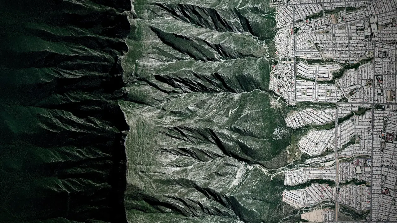
Description
Overview is a visual platform that leverages satellite and aerial imagery to reveal the ways both human activities and natural forces transform the Earth. Through daily posts, curated products, and exclusive collaborations, it offers a compelling look at the continual evolution of our planet and civilization.
The platform inspires a deeper understanding of Earth's geography and environmental changes with immersive visuals, making these perspectives accessible through prints, books, and digital content designed to evoke the Overview Effect in viewers.
Key Features
- Satellite and Aerial Imagery: High-resolution visuals demonstrating Earth's changes
- Daily Posts: Regular updates featuring new imagery and perspectives
- Custom Prints: Option to create tailored prints for home or office decor
- Books and Products: Range of books and prints available for purchase
- Collaborations: Partnerships with brands and organizations for special projects
Use Cases
- Educational resource for geography and earth sciences
- Inspiration for writers and journalists covering environmental topics
- Home or office decor with custom satellite prints
- Data source for researchers and environmental scientists
- Content for visual storytelling and media production
You Might Also Like

AIQoD
Contact for PricingAutonomous Multi-Agent AI Platform for Smart Digital Transformation

GPTHuman
FreemiumContent that bypasses AI Detection. Guaranteed.

Droxy
PaidYour AI-powered employee for customer-facing automation.

Pandalyst
FreemiumGenerate optimized SQL queries effortlessly using AI, regardless of your skill level!

Aiforsheet
Free TrialGenerate Excel and Google Sheet Formulas in Seconds