
Leaflet
Open-source JavaScript library for interactive maps.
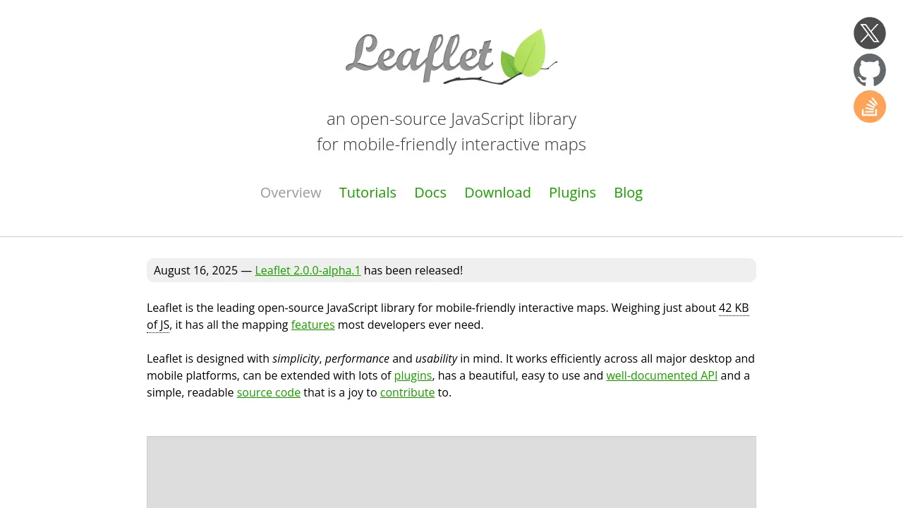
Description
Leaflet is a leading open-source JavaScript library designed for creating interactive maps that work seamlessly across both desktop and mobile platforms. With a focus on simplicity, performance, and usability, it allows developers to add customizable, mobile-optimized maps to their web applications with minimal effort.
Extremely lightweight and extensible, Leaflet provides a well-documented API and an active community, making it suitable for a wide range of mapping needs. Its modular architecture and support for plugins enable easy customization and expansion to suit complex, demanding projects.
Key Features
- Lightweight and Efficient: Only about 42 KB of JavaScript with no external dependencies.
- Mobile-Friendly Performance: Optimized for smooth experience on all major desktop and mobile platforms.
- Customizable and Extensible: Supports plugins, custom controls, and map layers.
- Comprehensive API: Easy-to-use, well-documented, and designed for usability.
- Interactive Map Elements: Supports markers, popups, tile layers, vector layers, image overlays, and GeoJSON.
- Advanced Interaction: Drag panning, zooming, keyboard navigation, and area selection.
- Smooth Animations: Hardware acceleration for panning and zooming, and animated transitions.
- Retina and HiDPI Support: Crisp visuals on all display types.
- Browser Compatibility: Works with all modern browsers across desktop and mobile.
- Modular Build System: Leave out features you don't need for better performance.
Use Cases
- Embedding interactive maps in websites
- Creating mobile apps with map functionality
- Displaying geographic or spatial data
- Visualizing points of interest with markers and popups
- Developing custom geospatial data tools
- Rapid prototyping for GIS applications
You Might Also Like

Parent Atlas
FreeEarly insights. Lifelong impact.

Ausha
Free TrialThe first podcast marketing platform to launch and grow your show.

Gladia
FreemiumAI Audio Infrastructure for Accurate Speech-to-Text

Exemplary Marketing AI Solutions
Contact for PricingArtificial Intelligence for the 99%

ReveImage
FreeWhere Words Become Art