
PAINTMAPS.com
Create Colored Map Charts Online with Your Data
Description
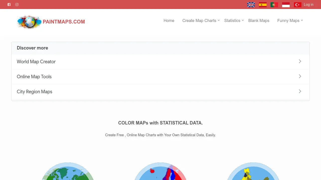
PAINTMAPS.com offers a user-friendly, online platform for generating custom map charts with unique statistical data. Users can design world, continent, country, city, and US state maps to visualize information effectively for diverse applications.
This free tool supports various map types, allowing users to customize, color, and export maps for academic, business, personal, or reporting purposes. No software installation or payment is required.
Key Features
- Custom Map Generation: Create world, continent, country, city, and US state maps
- Statistical Data Visualization: Color maps with user-provided statistical data
- Blank Maps: Download or use blank country and region maps
- 3D Stereogram Maps: Generate 3D stereograms for countries
- Photo Overlay: Place photos onto maps
- Public User Maps: View and share public maps generated by users
- Vector Map Output: Create vector-quality maps suitable for print or web
Use Cases
- Report creation and data presentation
- Student homework and academic projects
- Business data visualization
- Blog or website map illustrations
- Social media sharing
- Election results mapping
- Travel or visited countries tracking
- Geography or cartography education
Frequently Asked Questions
Is PAINTMAPS.com free to use?
Yes, PAINTMAPS.com is completely free and can be used online without any payment or subscription.
What types of maps can I create?
You can create world, continent, country, city, and US state maps, as well as blank maps and 3D stereograms.
Can I add my own statistical data to the maps?
Yes, the tool allows you to color and customize maps based on your own statistical or categorical data.
Are there any restrictions on usage areas?
You can use your generated map charts in reports, presentations, academic work, websites, blogs, social media, and more.
You Might Also Like

GoStudio.ai
Pay OnceMost realistic AI Headshot Generator for individuals, professional and teams

RankBot
PaidHire an AI Robot to do your SEO

Yellow.ai
FreemiumAgentic AI Platform for Service Automation

magical.so
FreemiumAI-Powered Meeting Assistant for Enhanced Productivity

Crisp
FreemiumAI-Powered Omnichannel Customer Support Platform